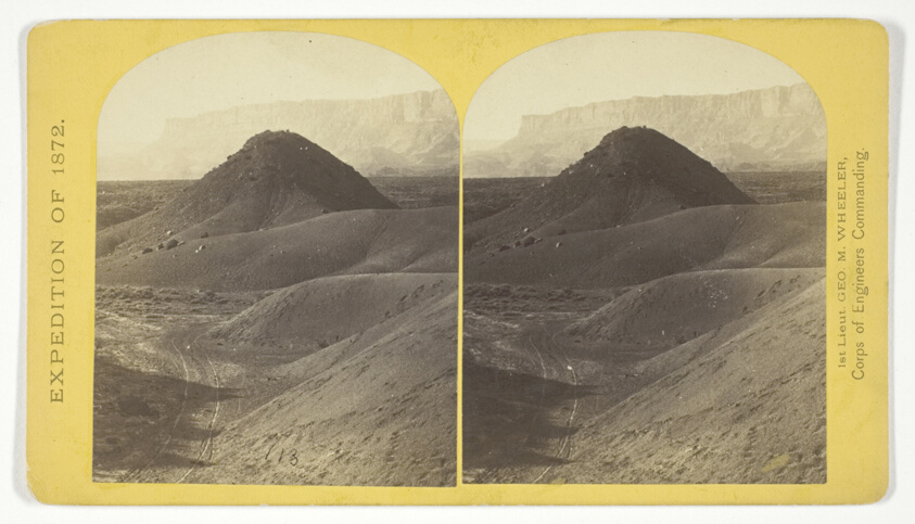
The "Vermillion Cliff," a typical plateau edge, as seen from Jacobs Pool, Arizona. From its top a plateau stretches to the right, and from its base another to the left. Their difference of level is 1.500 feet, and the step is too steep for scaling, No. 15 from the series "Geographical Explorations and Surveys West of the 100th Meridian"
William H. Bell (American, 1830–1910) commissioned by George Wheeler for the War Department, Corps of Engineers, U.S. Army- Date
- 1872
- Medium
- Albumen print, stereo
- Dimensions
- Each image: 9.3 × 7.5 cm (3 11/16 × 3 in.); Card: 10 × 17.7 cm (3 15/16 × 7 in.)
- Department
- Photography and Media
- Credit line
- Photography Gallery Fund