William H. Bell
24 works

Cañon of Kanab Wash, Colorado River, Looking South
William H. Bell
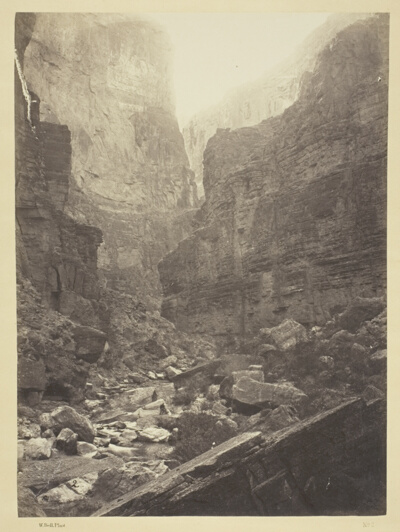
Cañon of Kanab Wash, Colorado River, Looking North
William H. Bell
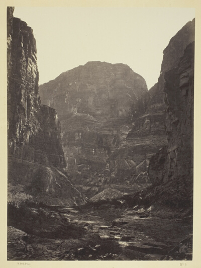
Cañon of Kanab Wash, Colorado River, Looking South
William H. Bell
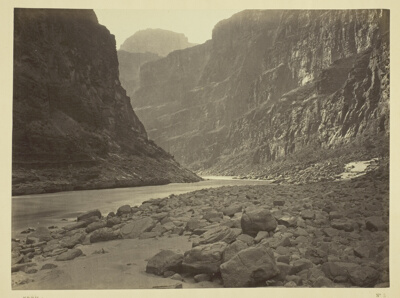
Colorado River, Mouth of Kanab Wash, Looking West
William H. Bell
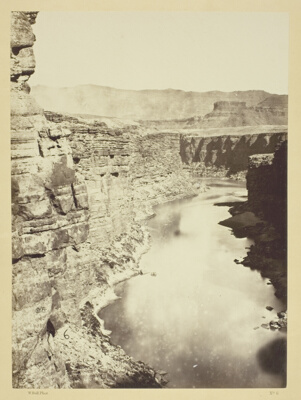
Grand Canon, Colorado River, Near Paria Creek, Looking West
William H. Bell
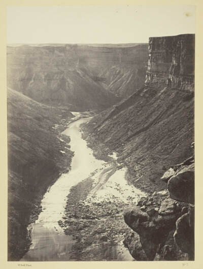
Grand Cañon, Colorado River, Near Paria Creek, Looking West
William H. Bell

Perched Rock, Rocker Creek, Arizona
William H. Bell
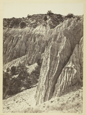
Rain Sculpture, Salt Creek Cañon, Utah
William H. Bell

Grand Cañon of the Colorado River, Mouth of Kanab Wash, Looking West
William H. Bell
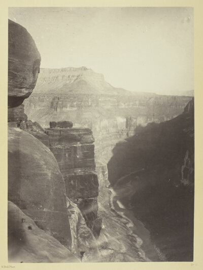
Grand Cañon of the Colorado River, Mouth of Kanab Wash, Looking East
William H. Bell
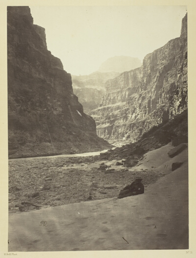
Grand Cañon of the Colorado River, Mouth of Kanab Wash, Looking West
William H. Bell
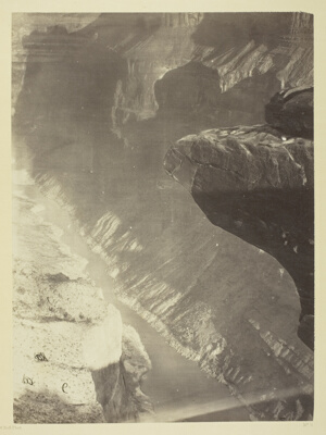
Looking South into the Grand Cañon, Colorado River, Sheavwitz Crossing
William H. Bell
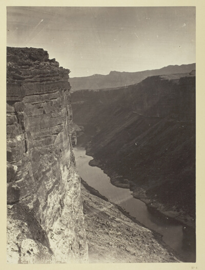
Grand Cañon, Colorado River, Near Paria Creek, Looking East
William H. Bell
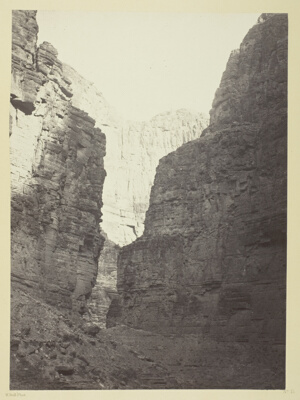
Limestone Walls Kanab Wash, Colorado River
William H. Bell
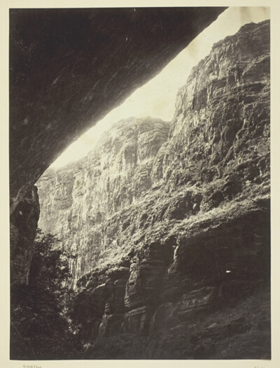
Cañon of Kanab Wash, Colorado River, Looking South
William H. Bell
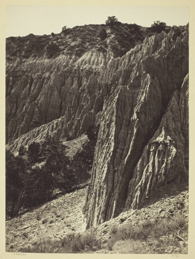
Rain Sculpture, Salt Creek Canon, Utah
William H. Bell
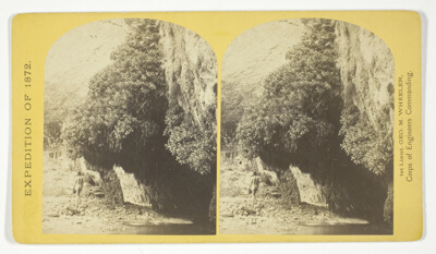
"The Bath," a dripping spring in Kanab Cañon. Temperature, 69° Fahr, No. 9 from the series "Geographical Explorations and Surveys West of the 100th Meridian"
William H. Bell
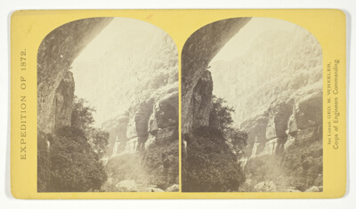
The Cañon of Kanab Creek, near its junction with the Grand Cañon of the Colorado. In the foreground is a dripping spring affording a shower bath. Temperature, 69° Fahr, No. 8 from the series "Geographical Explorations and Surveys West of the 100th Meridian"
William H. Bell
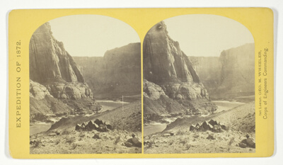
Mouth of the Paria, Colorado River; walls 2.100 feet in height, No. 11 from the series "Geographical Explorations and Surveys West of the 100th Meridian"
William H. Bell
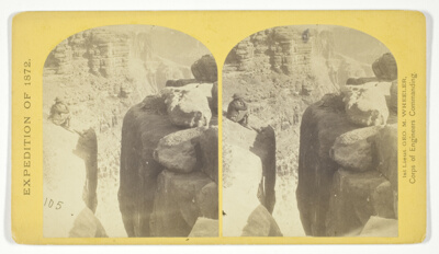
The northern wall of the Grand Cañon of the Colorado, near the foot of To-ro-weap valley. The rounded rocks of the foreground are sand-stone, No. 14 from the series "Geographical Explorations and Surveys West of the 100th Meridian"
William H. Bell
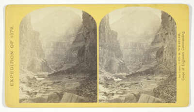
The mouth of Kanab Creek. The beds of the Colorado River and its tributary here lie in gorges cut by the running water to the depth of about 3.500 feet below the general surgace of the country. The highest point seen in the picture is 2.500 feet above the water, and the walls are here too steep to be scaled, No. 10 from the series "Geographical Explorations and Surveys West of the 100th Meridian"
William H. Bell
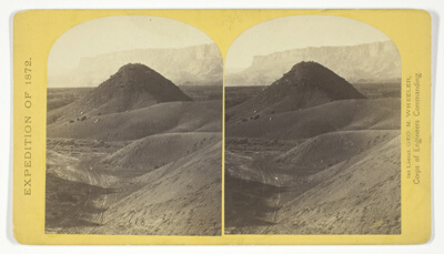
The "Vermillion Cliff," a typical plateau edge, as seen from Jacobs Pool, Arizona. From its top a plateau stretches to the right, and from its base another to the left. Their difference of level is 1.500 feet, and the step is too steep for scaling, No. 15 from the series "Geographical Explorations and Surveys West of the 100th Meridian"
William H. Bell
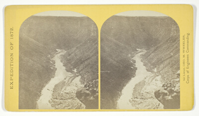
Marble Cañon, one of the gorges of the Colorado here, 1.200 feet deep. The steep cliff is gray limestone and the slope below a brilliant red sandstone, No. 13 from the series "Geographical Explorations and Surveys West of the 100th Meridian"
William H. Bell

View in the Grand Cañon of the Colorado River, No. 12 from the series "Geographical Explorations and Surveys West of the 100th Meridian"
William H. Bell