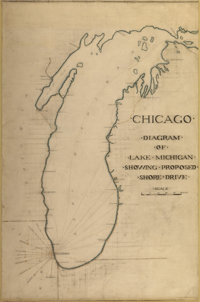
Plate 35 from Plan of Chicago 1909: Chicago, and Diagram of Lake Michigan. Proposed Roadway to connect all the towns along the shores of the Lake.
Daniel Hudson Burnham, American, 1846-1912 Edward Herbert Bennett, American, born England, 1874-1954- Date
- 1909
- Medium
- Graphite and colored pencil on paper
- Dimensions
- 158 × 102.4 cm (62 × 40 1/4 in.)
- Department
- Architecture and Design
- Credit line
- On permanent loan to The Art Institute of Chicago from the City of Chicago
Subjects